Traffic Regulation Order Mapping
All TROs have a geospatial element, however these are not always represented on a map.
Historically, authorities have communicated the scope of a TRO through written, text-based schedules. Today, many Local Authorities do not believe text-based schedules are the most effective way of communicating, what can be complex information, to the public. Authorities are increasingly looking to digitise their TROs and move to map-based orders.
This is often seen as a daunting, time consuming and costly project, which also requires excellent knowledge and skill.
So, who is going to carry out this daunting project?

VertexGIS have the knowledge and skill. Working exclusively with Esri software, we specialise in creating clear, concise, map-based Traffic Regulation Orders. We use an Authorities’ current data, be it in text format or mapped in other GIS software and convert it into our unique crystal clear cartographic style. The legal pdf plans we produce will perfectly match your mapped data and be accessible with a few clicks of your mouse.
With the DfT beginning to hand over the powers of enforcing Moving Traffic Orders to Local Authorities in June 2022, more and more Local Authorities will require their orders to be surveyed, reviewed and mapped. We can help with this too.
If you would like to improve your TRO data and streamline your process
MAINTAINING AND UPDATING YOUR TROs
With your TROs all up to date and published online, it is imperative that this data is kept up to date. We will be there for you.
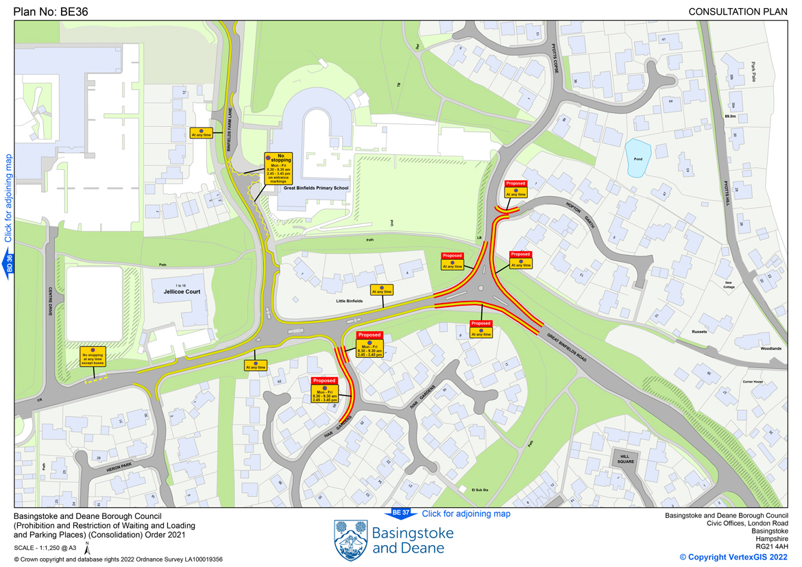
We can create your consultation drawings in our unique style, which from feedback received, the public find very easy to understand. Importantly we not only show the proposed restrictions, but also those already in place, giving a very clear picture of what these proposals mean and how they fit in with the surrounding restrictions.
After consultations are complete and the legal documents have been sealed, the online Web App and the legal map tile pdfs linked to the App are updated, guaranteeing that the most current data is always publicly available.
We’re always only a phone call or email away.